April 24 – October 13, 2025
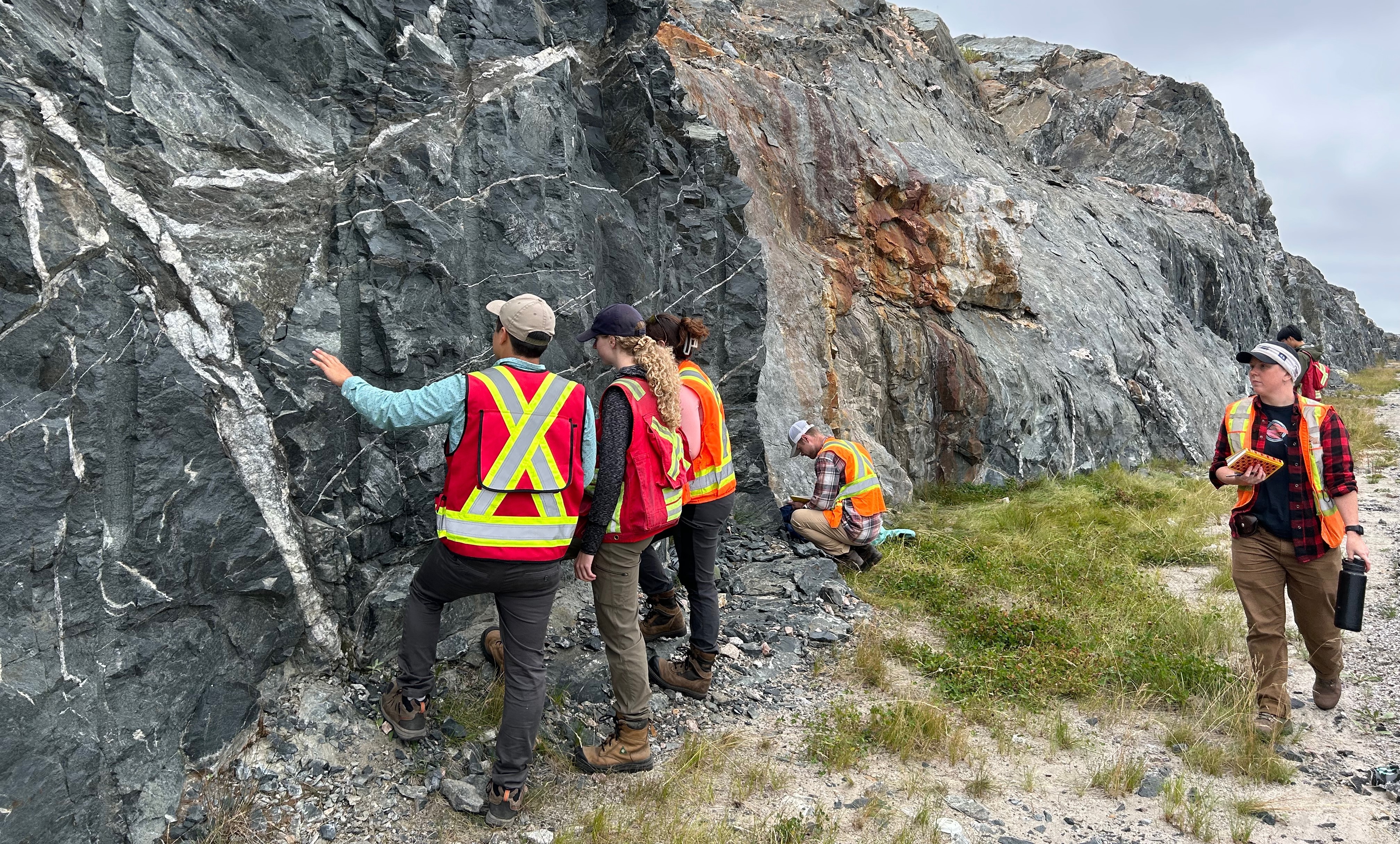
This year, I visited several iconic outcrops of plutons in the region. In the Pacific Northwest and Southwest British Columbia, these igneous bodies are largely part of the Coast Plutonic Complex and related intrusive bodies that formed during Mesozoic subduction and terrane accretion along the western margin of North America. As island arcs and oceanic fragments were accreted to the continent, repeated pulses of magma were emplaced at mid to lower crustal depths, producing extensive granitic to dioritic plutons. Subsequent uplift, faulting, and intense glacial erosion have exposed these intrusive bodies at the surface, where their massive structure, jointing, and extreme resistance to erosion strongly influence modern topography.

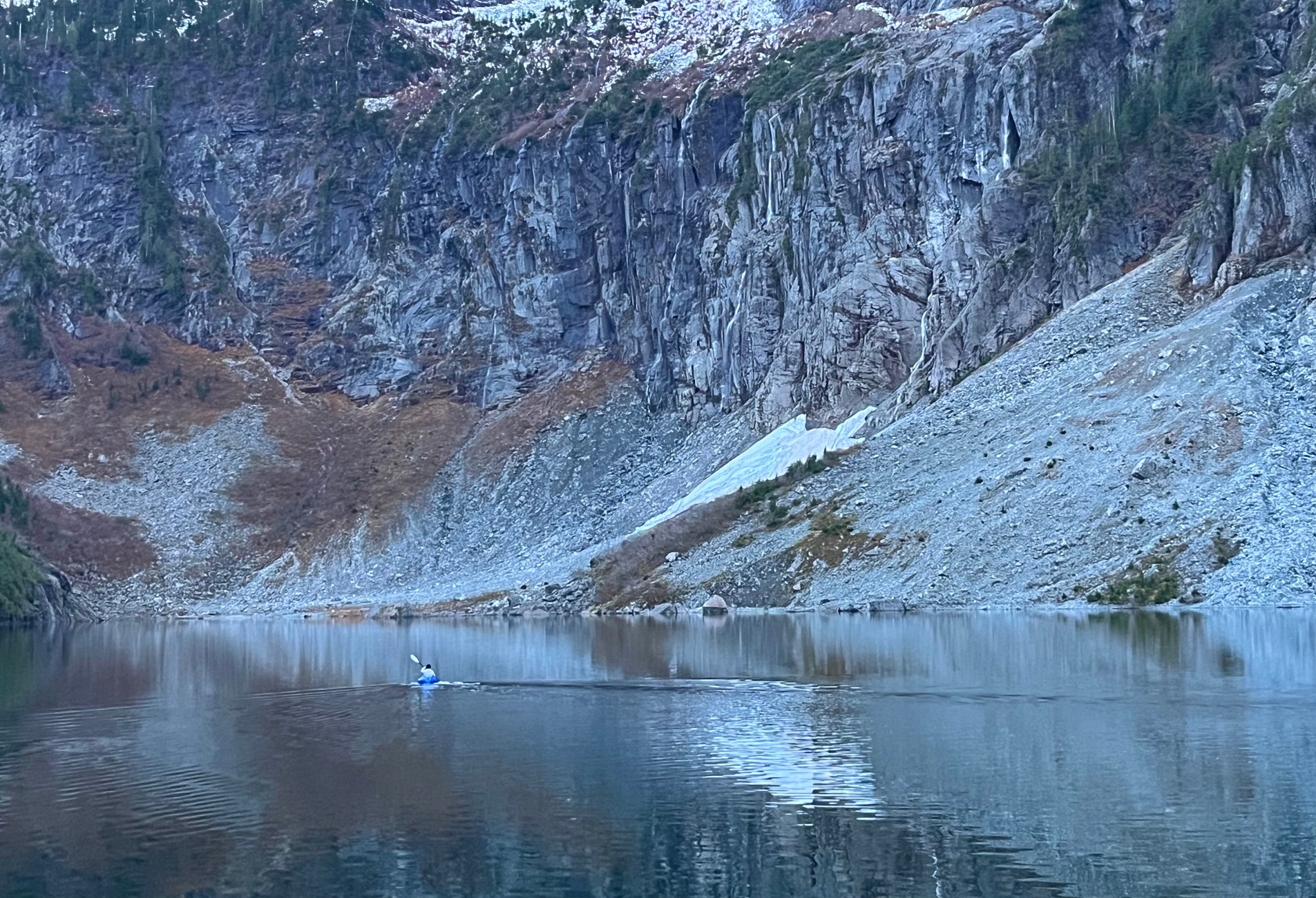
The most recent site I visited this year in October was the Mount Index in Washington, accessed via the Lake Serene trail, which provides an exceptional view of the exposed granite of the Index Batholith. Index granite is well known for the building of the Smith Tower in downtown Seattle and the state capitol. From the lake basin, 1000m high rock walls rise vertically, showing massive, coarse grained intrusive textures with prominent joint sets that control cliff geometry and rockfall patterns. The over steepened headwalls above Lake Serene mark a glacially carved cirque, where older ice exploited existing joints and fractures within the pluton. These exposures highlight how intrusive fabrics, fracture spacing, and glacial erosion together shape this distinct formation.


Further back this year, I took a quick day hike up the backside of the famous Stawamus Chiefs in Squamish. Composed of three peaks and the smaller Slhanay on the northeast side, this is a massive granitic monolith belonging to the Coast Plutonic Complex. After the pluton was exhumated, glacial erosion dominated the last few million years which produced the steep walls of the chief, and also contributed in carving out the Howe Sound as a fjord. Polished and striated surfaces are common features on the rock here, while the deep gullies separating the summits formed along vertical joint sets that facilitated block failure and mass wasting after exposure.


References:
Schematic map of the three belts of metamorphic core complexes in the North American Cordillera (adapted from Coney, 1980; Whitney et al., 2013). Access: https://www.researchgate.net/figure/Schematic-map-of-the-three-belts-of-metamorphic-core-complex-in-the-North-American_fig1_342082048.