A simplified stratigraphic column of Waterton National Park/Glacier National Park that I used throughout the trip. Source: Glacier Natural History Association & U.S. National Park Service (2019). Glacier Natural History Handbook. O’Neil Printers, Kalispell, Montana. Available at: https://www.gutenberg.org/files/59836/59836-h/59836-h.htmGeologic map and cross section of Waterton National Park and the surrounding foothills that was used for further interpretation purposes. Source: Geological Survey of Canada (1976). Miscellaneous Report 26: Geology of Waterton Lakes National Park. Parks Canada. Available at: http://parkscanadahistory.com/geology/misc-report-26-1976.pdf
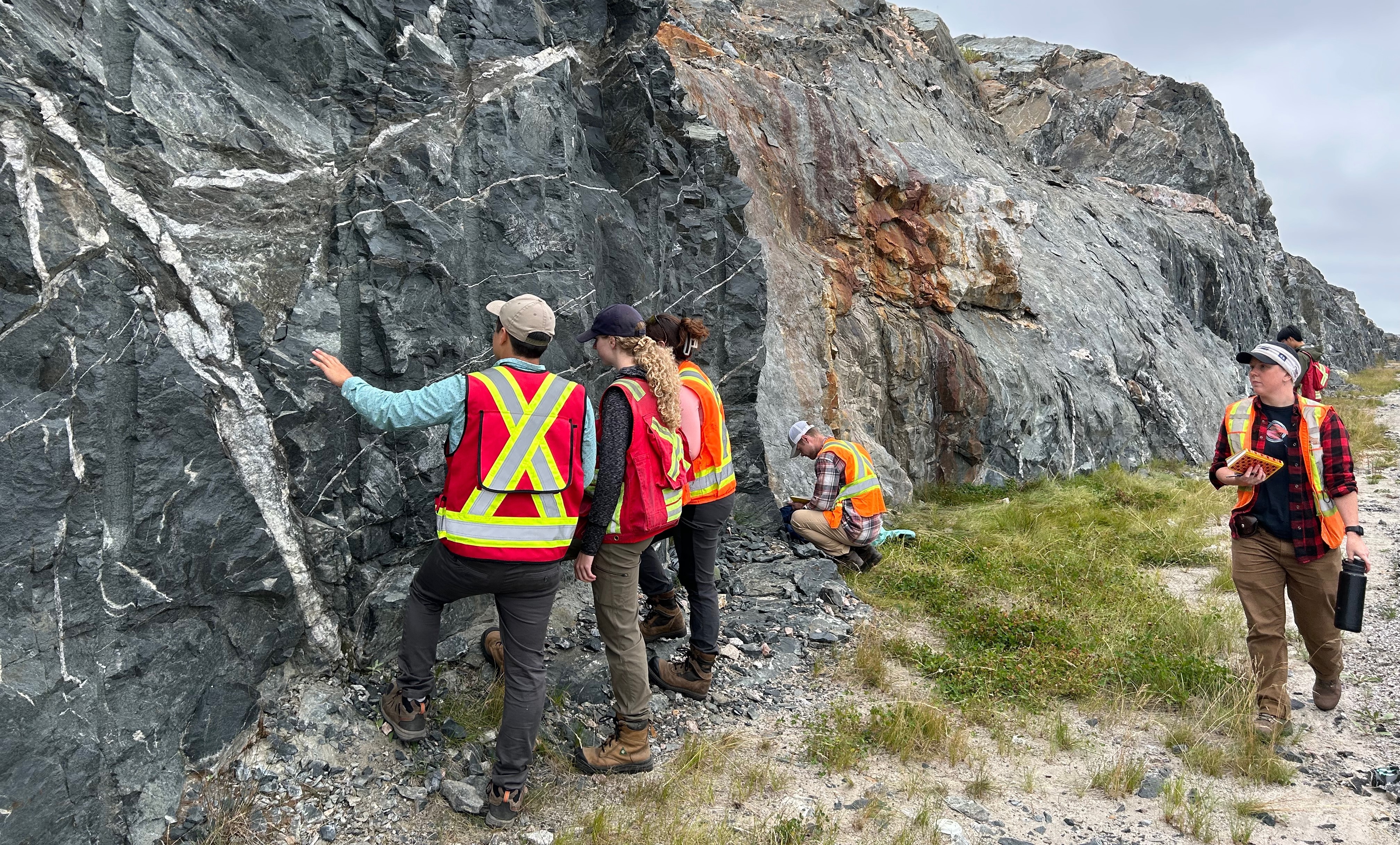
This summer, I had the opportunity to visit Waterton National Park in Alberta for a week, which contain some of the oldest exposed sedimentary structures in the Rockies ranging from 1.2-1.5 Ga old. The project was to make general field observations of the park’s abundant amount of exposed banded formations of red, grey and green argillites, shales, sandstones to limestones and dolomites. Many layers display distinct tectonic features such as faults, tilting, and evidence of the massive Lewis thrust, which transported ancient rocks over much younger Cretaceous layers. Glacial processes have also left behind dramatic hanging valleys, headwalls, cirques, and lakes. The images below are of interesting formations and geological features that caught my attention during my trip.
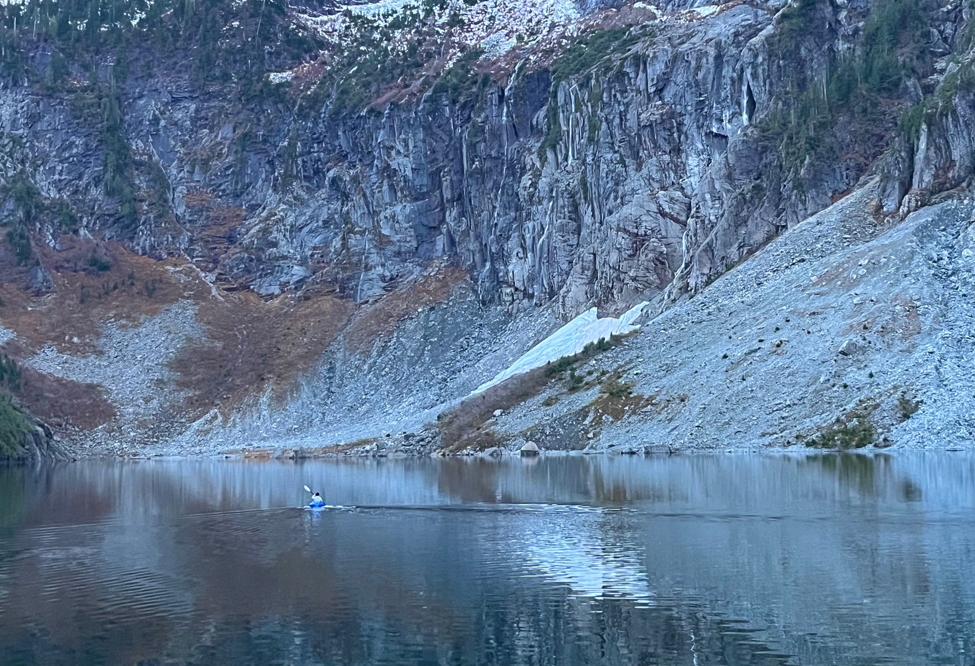
The east face of Mount Boswell. The large limestone rock wall along with the scree slopes below it is part of the Altyn FormationHell Roaring Creek plunges 150m to the valley floor, with Crypt Lake hidden in a cirque in the top left. This cliff at one point could have been the headwall of a glacierMe climbing up the cliff beside Hell Roaring Falls with large slabs of tilted limestones from the Altyn FormationCrypt Lake lies in a dramatic cirque, with grey/green bands of argillites and some quartzite in the cliffs. These cliffs and its scree slopes are part of the Appekunny FormationSteep dipping beds and scree of red argillites dominates this area near the ridge of Mount Alderson. This is the Kintla Formation, some of the youngest Precambrian rocks in the areaMore of the Kintla Formation south of Buchanan Peak. The red argillites contain iron in oxidized form which form in oxygen rich environments like shallow marineLake Wurdeman lies at the base of a steep cirque beneath Chapman Peak, one of the most dramatic backdrops I’ve seen in this parkLooking across the Carthew Lakes, the gently tilted unit belongs to the Siyeh Formation. Some fragments of the Purcell Formation are visible here along with the scree near the lake shoreMe on top of the ridge of Carthew-AldersonAlderson Lake lies at the base of the glacially carved cirque, which cuts into the rocks of the Siyeh FormationThe famous Red Rock Canyon carved by Blakiston Creek over millions of years. I had this place all to myself which was strange for a spot that doesn’t require any hiking and scrambling to get toCameron Lake lies in a steep cirque below Mount Custer, which feature glacially steepened walls of horizontally bedded rocks. You can see multiple formations from this vantage, from the Kintla near the summit, to the Purcell Lava and Shepard FormationGently dipping bedded argillites near Forum Lake. This region was one of the sections in the park most affected by the 2017 wildfireThe Shepard Formation and the Purcell lava forms the majority of the bedded layers of this cliff at the Wall Lake Cirque. Above this is the Akamina Ridge with more of the reddish Kintla Formation exposed seen at the top of this imageMe with the packraft at Wall Lake to get a better view of the headwallWaterton Park townsite with Vimy Peak behind